Heavy snow and blizzards bring treacherous conditions and disruption to UK
Heavy snow has brought treacherous conditions with drivers left stranded for hours and people urged to only travel if absolutely necessary.
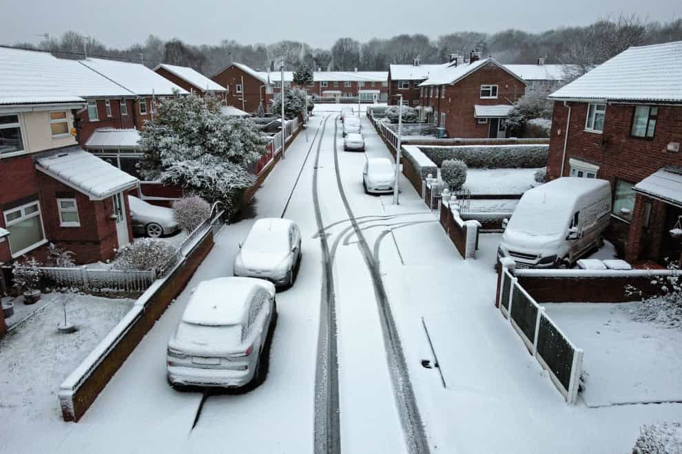
Storm Larisa battered parts of the UK with gales and blizzards overnight, and the Met Office had a number of warnings in place for snow and ice, including an amber warning which covered northern England and the Midlands until midday.
Four yellow warnings for snow covered much of the rest of the nation, with the exception of south-east England and western Scotland.
A low of minus 13.6C was recorded in Altnaharra in Sutherland in the Highland region of northern Scotland overnight.
The Met Office said the greatest depth of snow recorded was 27cm at Capel Curig in North Wales.
There was also an official record of 14cm at Bingley in West Yorkshire but a Met Office spokesman said that anecdotally they have heard of observations higher than this in Leeds and Sheffield.
Heavy snowfall left drivers stranded for more than seven hours on the M62 motorway in Greater Manchester and Yorkshire.
RAC breakdown spokesman Rod Dennis said the situation on the M62 was likely to have been caused by a large amount of snow falling in a short period.
He told the PA news agency: “Things are thankfully now improving but the scenes of stranded drivers is the perfect reminder of why it’s so important to carry a warm blanket, a winter coat, extra layers, food and drink and a power bank and phone-charging cable.
“Today we’re seeing a sharp rise in drivers stuck in the snow in Yorkshire, especially around Sheffield, Leeds, Bradford and Hull.
“Breakdown volumes are also very high in the East Midlands and north of London as drivers attempt to start their vehicles.
“We strongly recommend motorists think carefully before setting out today. Waiting until conditions improve may well be the best policy.”
National Highways North West estimated that at one point congestion on the eastbound carriageway between Rochdale and Saddleworth stretched to around eight miles.
Derbyshire Constabulary urged drivers not to travel in the Peak District on Friday morning “unless absolutely necessary” as most roads in the High Peak and Derbyshire Dales areas were “impassable”.
The force said it worked with mountain rescue teams to respond to reports of stranded vehicles.
The Police Service of Northern Ireland also warned people to only travel if their journey is essential.
Parts of the A66 in Durham and the A628 Woodhead Pass in South Yorkshire were closed overnight due to the heavy snow.
Public transport has also been affected, with Network Rail saying multiple fallen trees have blocked lines between Manchester and Sheffield, meaning no trains can run.
Train operators TransPennine Express and Northern were also affected, with many services cancelled.
Merseyrail, which runs train services in Merseyside and the surrounding areas, delayed the start of its operations on Friday due to the severe weather.
Network Rail said it hopes two Peak District rail routes blocked by snow will reopen between 3pm and 6pm.
The closure of the Hope Valley line means no trains are running between Manchester and Sheffield, and there are no services between Buxton and Hazel Grove due to the Buxton line being blocked.
Air travel was affected too, with the majority of flights departing Liverpool John Lennon Airport delayed on Friday morning.
East Midlands Airport was closed for around three hours while flights were suspended at Birmingham Airport for around an hour to clear snow from the runway and there were also delays to flights at Bristol Airport.
Elsewhere, firefighters were called to a partial roof collapse at a flat on Longford Walk in Tulse Hill, south London.
London Fire Brigade said the aluminium roof of a three-storey block of flats had peeled off in high winds and was in a precarious position.
There were no reports of any injuries.
Meanwhile, people in the south of England are likely to experience the worst of the rain.
The weather is expected to clear by the end of Friday before being replaced by another low pressure system, leading to a further yellow snow and ice warning for much of northern England and Scotland from 3pm on Saturday to 6am on Sunday.
The best videos delivered daily
Watch the stories that matter, right from your inbox