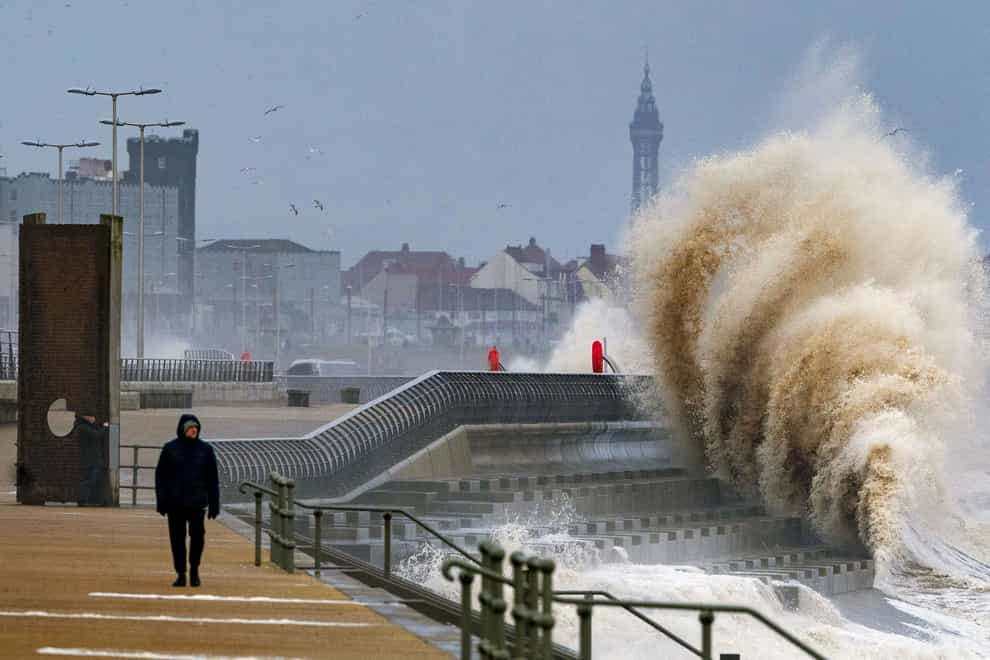
In Pictures: Winds whip up as UK faces back-to-back storms
Gusts of up to 90mph have been forecast for parts of the UK, with weather warnings issued for two storms coming in the space of a few days.
The Met Office said power cuts and transport disruption are expected as Storm Dudley grows stronger.
It will be followed on Friday by Storm Eunice, which could be even more damaging, with stronger winds than Dudley, heavy snow and possible blizzard conditions.
The Met Office issued an amber weather warning for strong winds caused by Storm Dudley covering central Scotland, parts of Northern Ireland and northern England above Hull.
It is expected to last until midnight, with yellow warnings for wind as far south as Birmingham.
Thursday is expected to offer some respite for most, but Storm Eunice was predicted to be even more challenging for many, this time affecting the southern half of the UK on Friday.
The best videos delivered daily
Watch the stories that matter, right from your inbox