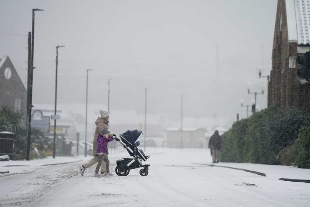
Snow warning in place for northern England and Wales later this week
A 24-hour yellow snow warning has been issued for the northern half of England and much of Wales on Thursday and Friday.
The Met Office said a whole day of potentially heavy snow could lead to some disruption, with power cuts and travel delays possible.
Up to 20cm could fall over high ground, according to current forecasts, while 1-2cm is widely possible at low levels.
The warning runs from 3am on Thursday to 3am on Friday and stretches from Cumbria and the Scottish border down to Cambridgeshire and the Midlands in England.
All of northern and central Wales, including the isle of Anglesey, is included in the warning.
The forecaster said there was a small chance of power cuts and rural communities being cut off in the included areas.
It added that delayed or cancelled rail and air travel was also likely.
Met Office deputy chief meteorologist Chris Almond said: “While the early part of this week will see some rain, at times heavy, gradually sinking southwards, there’s an increased signal for wintry hazards as we move through the week as cold air from the north moves over the UK.
“It’s from Thursday that the snow risk becomes more potentially impactful, as mild air attempts to move back in from the south, bumping into the cold air and increasing the chance of snow developing on the leading edge.
“While there are still lots of details to work out, the initial snow risk looks highest in northern England and Wales from Thursday.”
The snow will turn into sleet and rain towards the end of the warning period from the south.
Further warnings for ice could also be issued later in the week as temperatures drop below average for this time of year, the forecaster said.
The best videos delivered daily
Watch the stories that matter, right from your inbox