Winds pick up ahead of two storms set to batter the UK
Winds have picked up ahead of two named storms which are forecast to batter the UK.
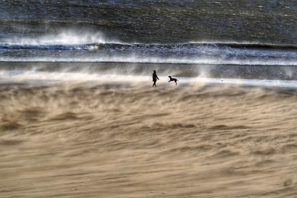
Gusts of up to 90mph were predicted in parts, with an amber warning issued by the Met Office saying power cuts and transport disruption were expected later on Wednesday as Storm Dudley comes in.
That will be followed on Friday by Storm Eunice which could be even more damaging, with stronger winds than Dudley, heavy snow and possible blizzard conditions.
By Wednesday morning, gusts of 66mph were recorded at Emley Moor, West Yorkshire, and 63mph at Orlock Head near Bangor, Northern Ireland.
The Met Office issued an amber weather warning for strong winds caused by Storm Dudley covering central Scotland, parts of Northern Ireland and northern England above Hull.
It is expected to last from 2pm to midnight, with yellow warnings for wind as far south as Birmingham.
Heavy showers are expected throughout the afternoon, with snow on high ground in the North.
In the southern half of the UK, mild temperatures of up to 14C or 15C were forecast for Wednesday.
Thursday is expected to offer some respite for most, but Storm Eunice was predicted to be even more challenging for many, this time affecting the southern half of the UK on Friday.
Another amber warning has been issued, with the potential for stronger winds, and predictions that gusts could top 90mph in the South West and South Wales.
The Environment Agency has warned of the risk of flooding to coastal areas in southern England on Friday.
Flood duty manager Katharine Smith said: “Strong winds could bring coastal flooding to parts of the west, south-west and south coast of England, as well as the tidal River Severn, through the early hours of Friday morning and into the early afternoon.
“This is due to Storm Eunice resulting in high waves and potential storm surge coinciding with the start of a period of spring tides.”
She said agency teams were making preparations, erecting barriers and clearing screens where flood debris can build up.
And train operator LNER has asked passengers planning to travel on Friday to move their journey because of the weather.
Warrick Dent, safety and operations director, said: “We are encouraging our customers with tickets dated for Friday February 18 to bring forward their travel arrangements to Thursday February 17 where possible.
“We expect services to be extremely busy in the coming days and advise customers to check our website and social media channels for the latest information.”
Met Office spokeswoman Nicola Maxey said: “We are looking at particularly stormy period right now, with two named storms coming through one after the other.
“This sort of weather set-up is typical for the UK in the winter, with low pressure coming in from the west, driven by the jet stream.”
She said the forecast after Storm Eunice continued to look unsettled with the potential for more wet and windy conditions over the weekend and the start of next week.
The Energy Networks Association has offered safety advice ahead of the storms.
Spokesman Ross Easton said: “It’s really important to stay safe when bad weather hits. If you come across fallen power lines or damage to the electricity network, stay well clear and call 105 for free to report it. If there is an immediate risk to life or someone is in danger, dial 999.”
Scotland’s Deputy First Minister John Swinney said the coming days will be “very challenging”, adding: “High winds may cause issues on roads and bridges, disruption to power supplies and danger from falling trees.
“We would urge everyone to plan their journeys in advance, exercise caution on the roads, and follow the latest travel advice.”
The best videos delivered daily
Watch the stories that matter, right from your inbox